Bogato Brdo · near Slunj, Croatia

Rich Hill
A place to rest.

Endless greenery and a peaceful retreat that brings life back to a simpler rhythm.

magnifica.land

Scroll to explore — day into night
Wild enough to get lost.
Close enough to come back.

Day · The Land

The place, alive in daylight

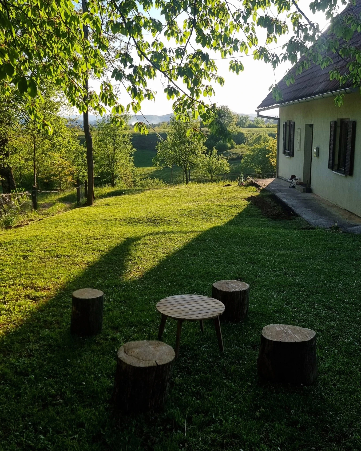
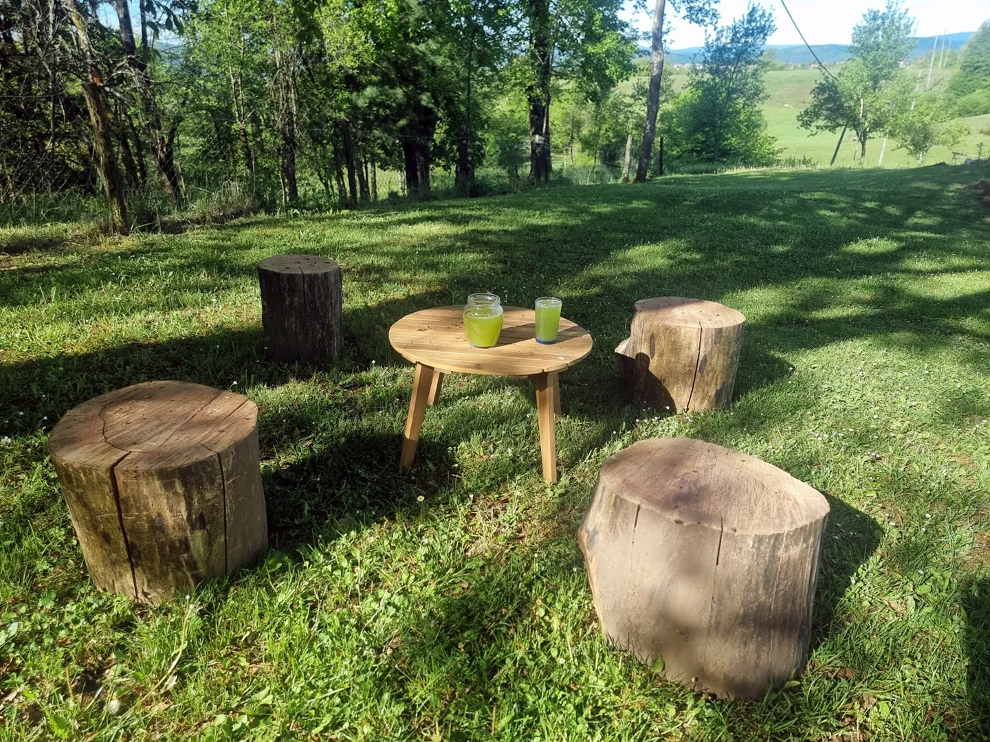
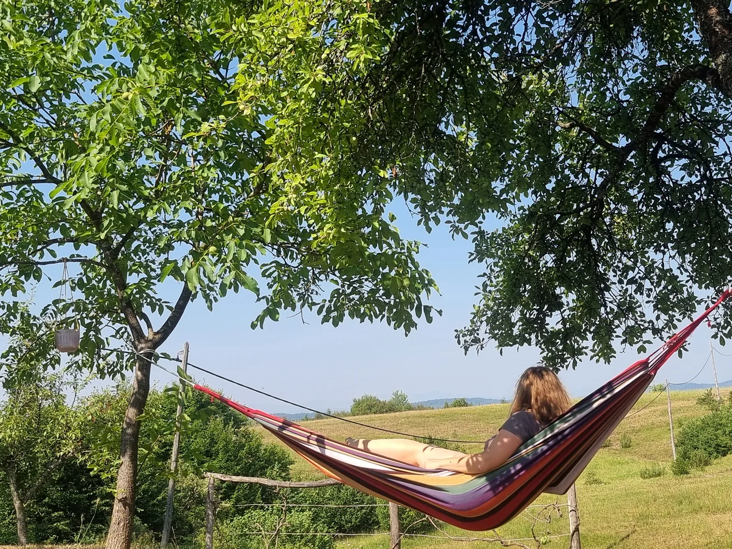
Rolling hills stretch in every direction. A meadow that wakes in morning mist and birdsong. Deer and rabbits move quietly through the fields at dawn, turning the landscape into something alive and unbothered. Bogato Brdo is not designed to be slow. It simply is. A place that follows no urgency, only rhythm.
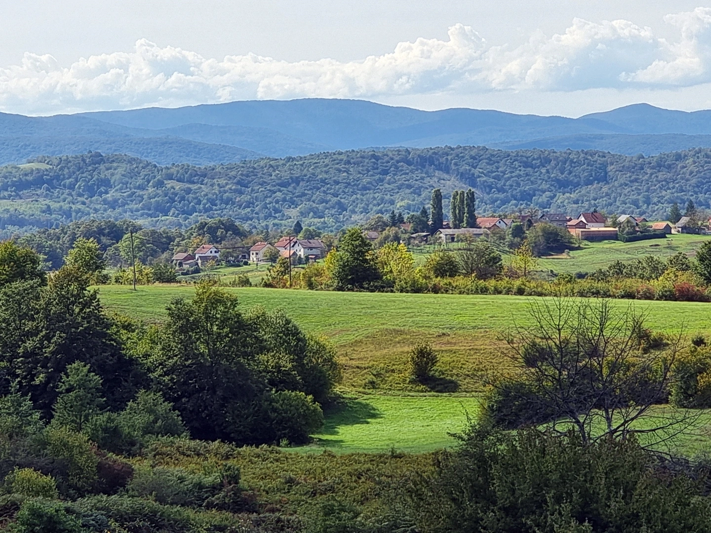
Bogato Brdo landscape
Morning meadow in mist and light
Daylight landscape over the hills
Bogato Brdo landscape
The hills don't rush. The meadow doesn't perform. The birds sing because that's what birds do here in the morning.
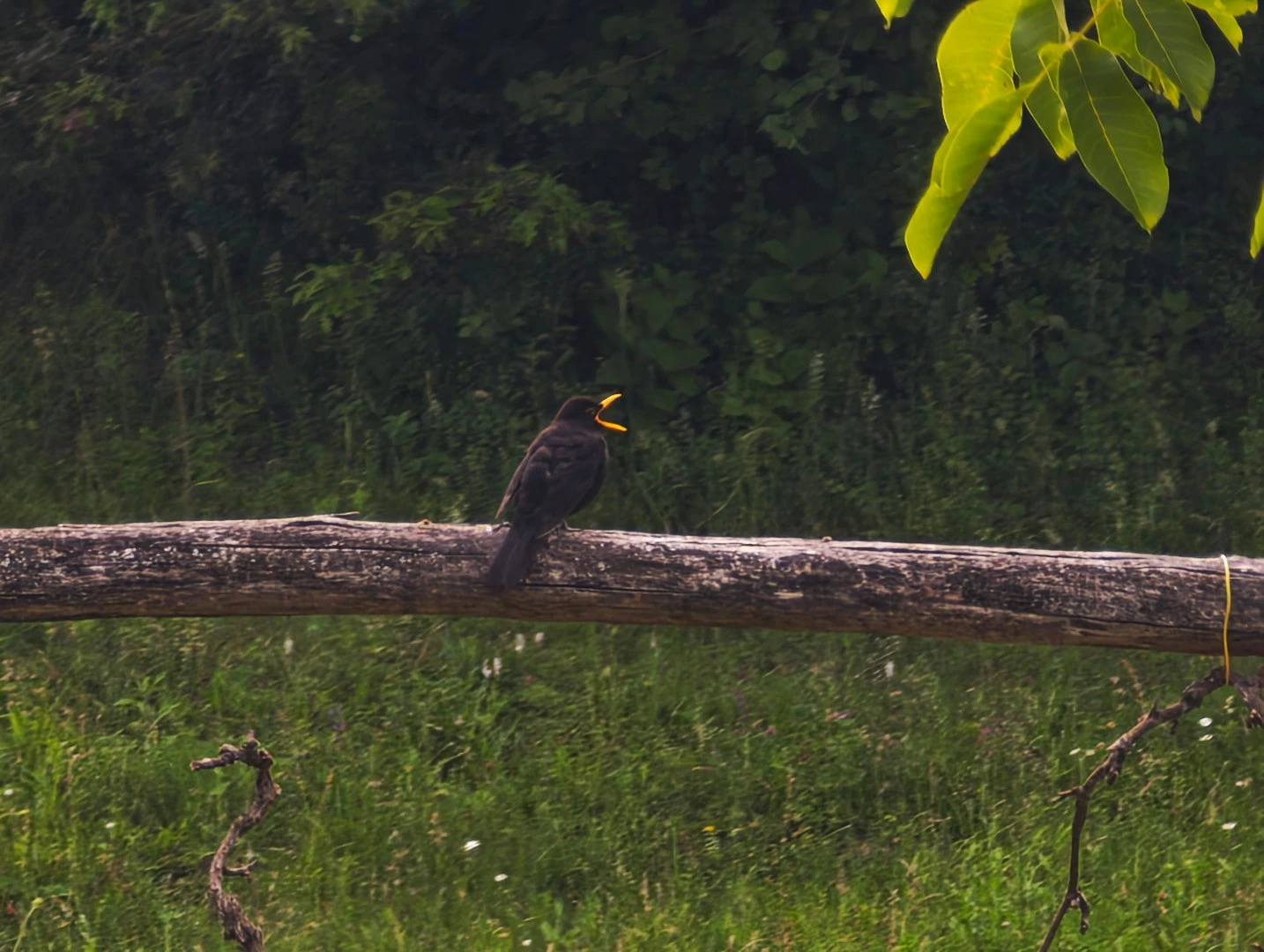
Blackbird singing on a log
Morning birds · meadow · birdsong

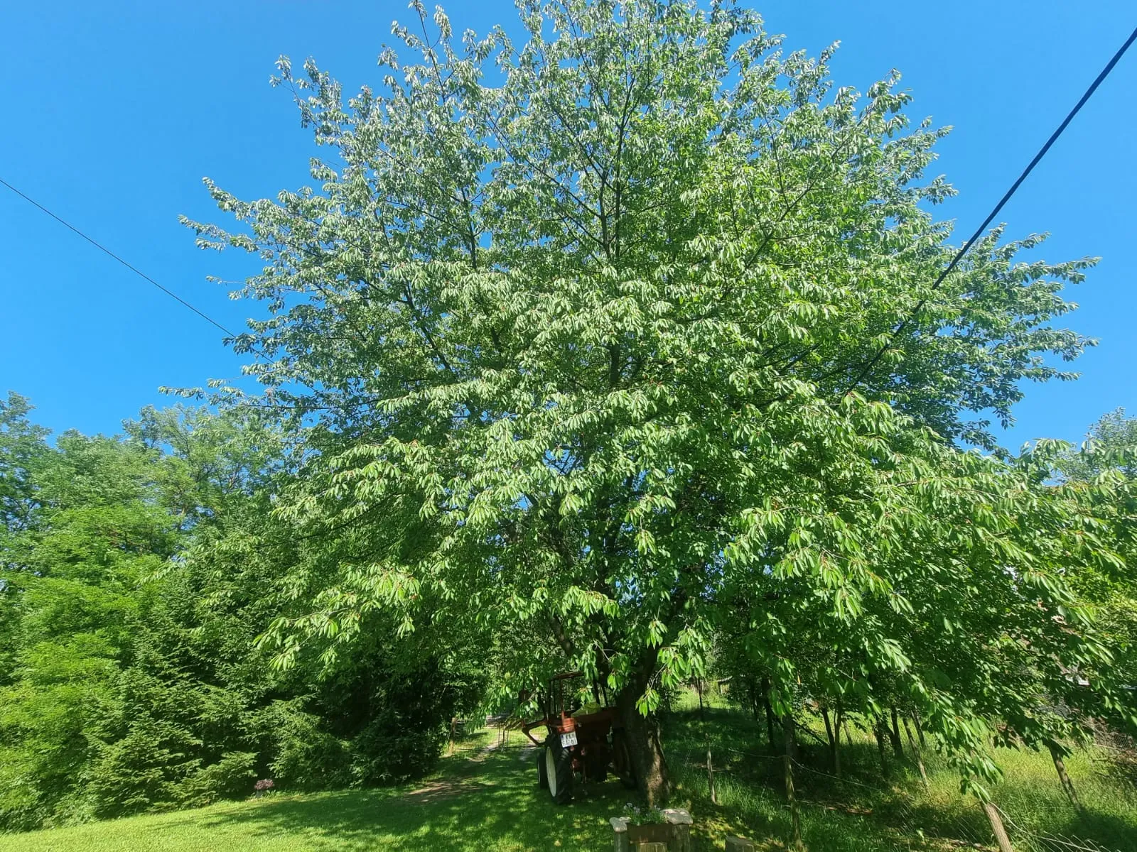
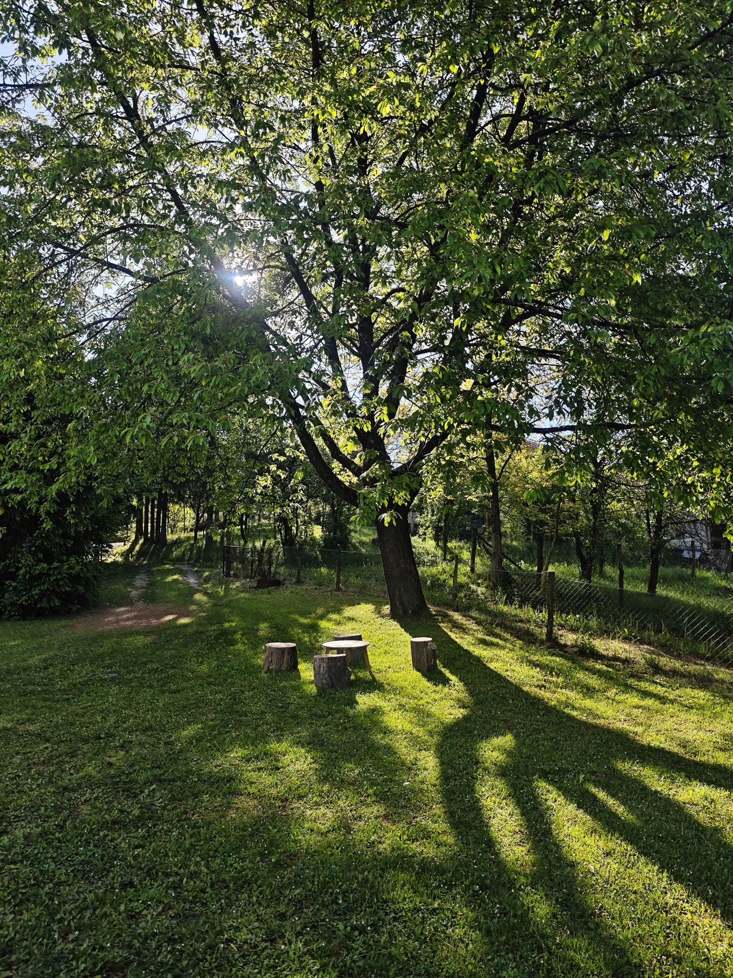
The tree has been here longer than any of us

Long before us, there was shade.

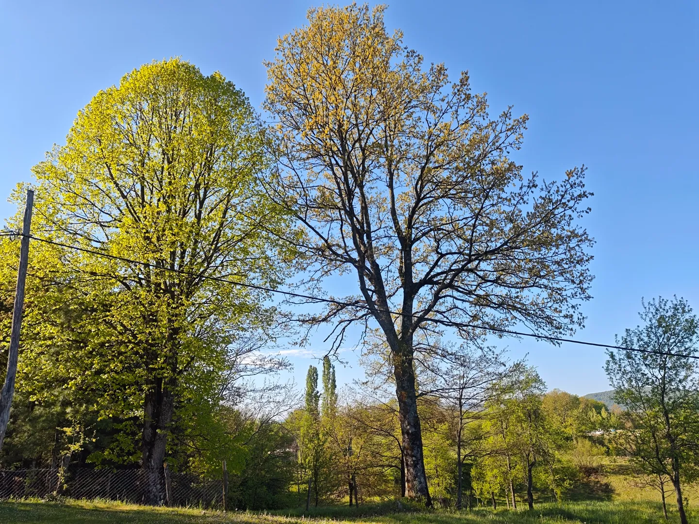
The oak and the linden have watched generations come and go. The cherry tree came later and became part of the story.

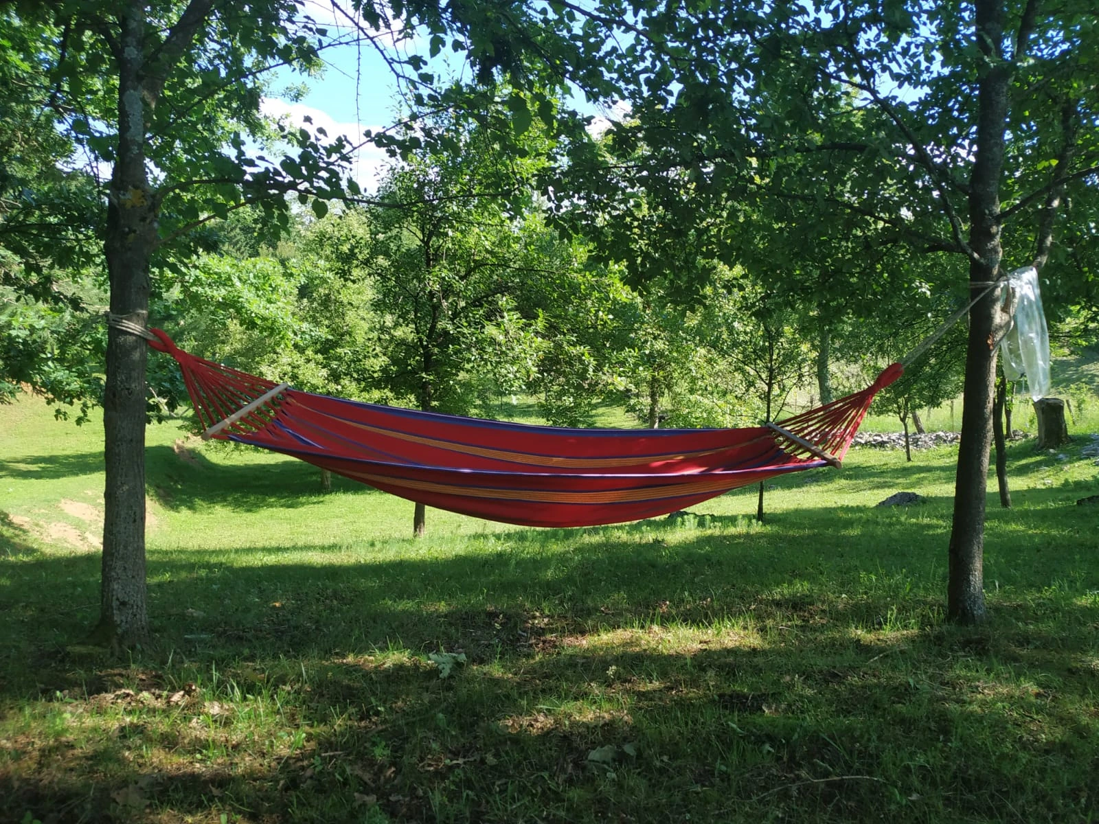
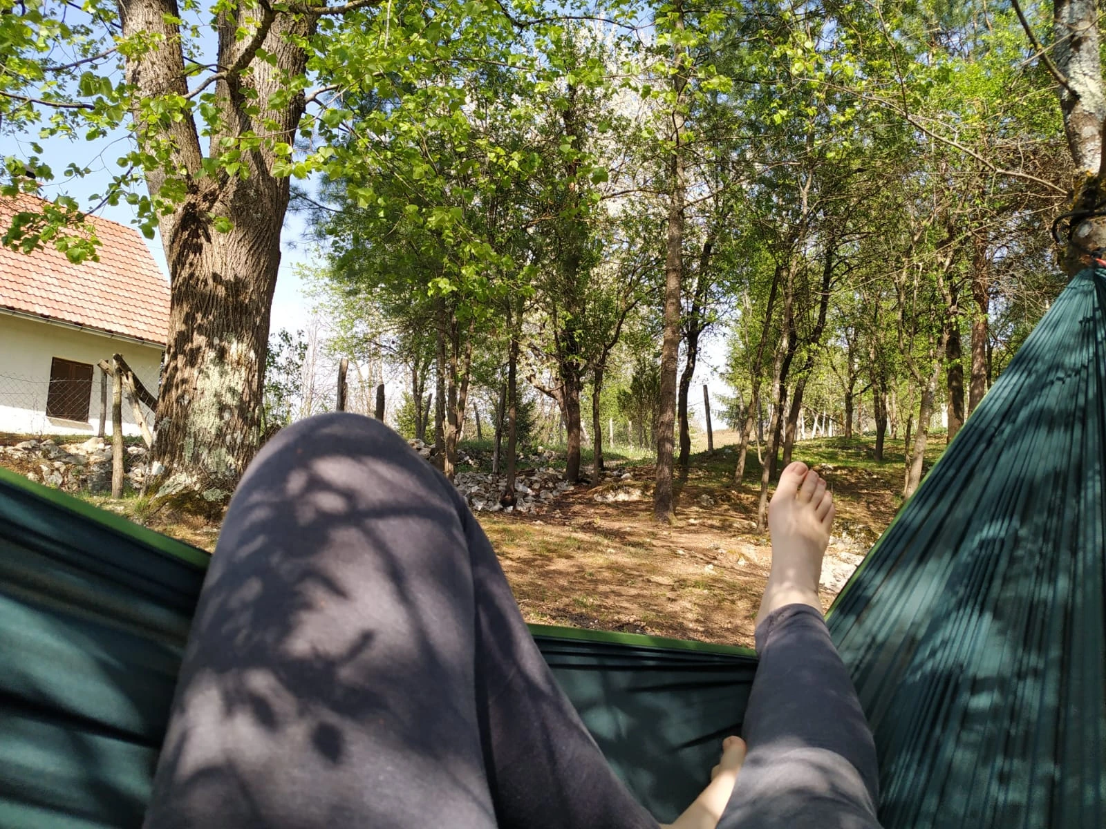
Their branches have sheltered work, rest, conversation and silence. Beneath them, time has always moved a little slower.

They hold more than shade. They hold memory.

And they still watch over this place.
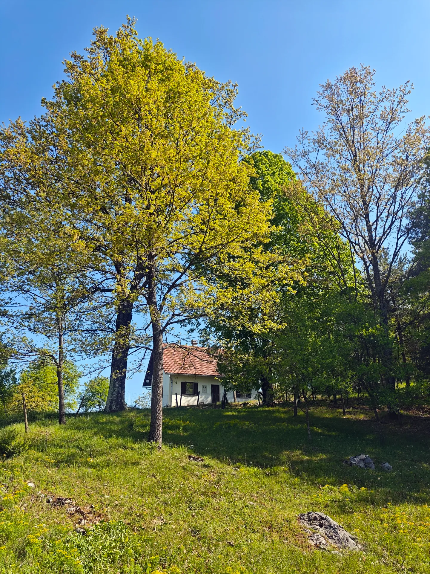
The ancient tree at Bogato Brdo
Trees on Bogato Brdo

Day · The Trail

Ride in. Rest here.

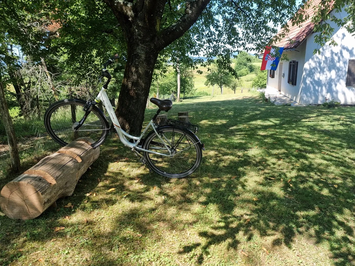
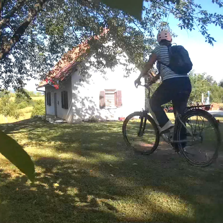
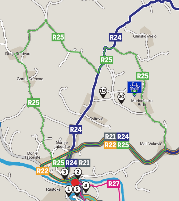
Magnifica (Bogato Brdo) is a natural resting point for cyclists. If you're travelling by bike through Slunj, Croatia, following Route 25, you're more than welcome to stop by. Shade, water, a wooden log to lean your bike against, a moment to breathe. You don't need to be a guest to belong here for an hour.

Bike resting on a wooden log near the trail
Trail rest point at Bogato Brdo
Bicycle in the shade near the house
Bogato Brdo trail surroundings
45.13950° N · 15.60789° E Bogato Brdo · Magnifica Land
Tap to activate

45.13950° N · 15.60789° E · Bogato Brdo

Open in OpenStreetMap
Route 25 cycling map near Slunj, Croatia
Route 25 · official trail map
The trail knows the story. Every turn proves it.
Illustrated map of Bogato Brdo — a landscape showing the house, forest trails, deer, cyclist, and starry sky transitioning from day to night

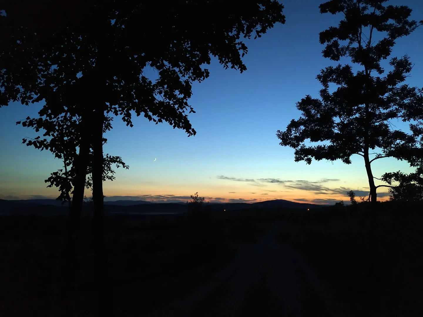
Night · Blue Hour

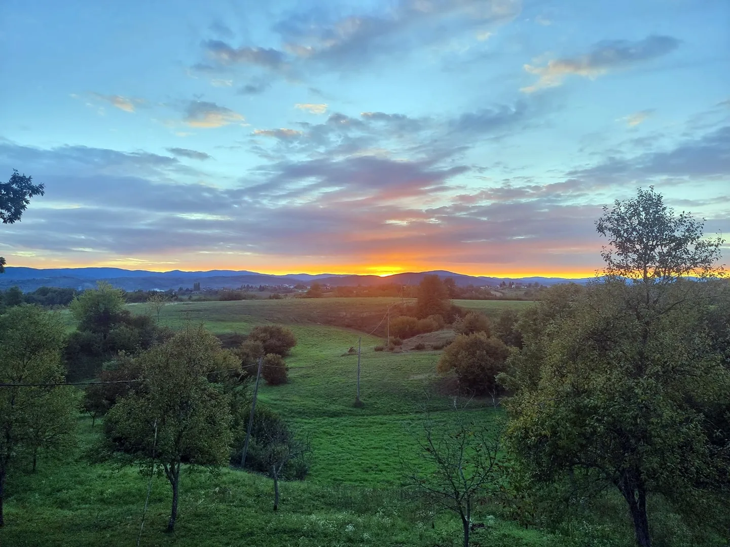
The valley settles.
The sky turns blue.

The valley at blue hour with sunset glow Valley · blue hour · house glow 45°06′N · 15°36′E
The valley deep into blue hour Valley · deep blue hour

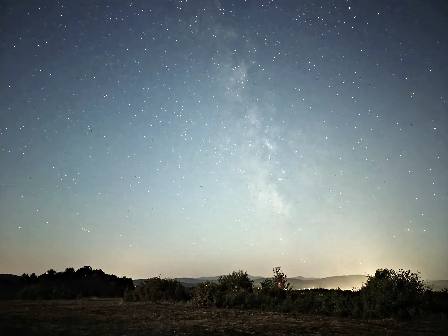
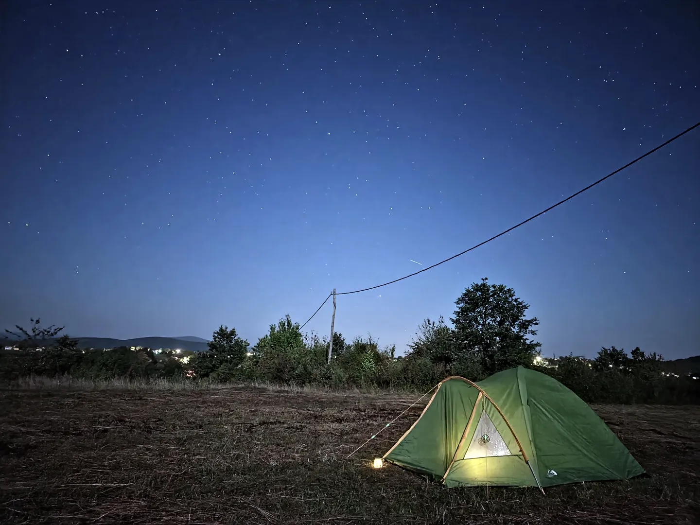
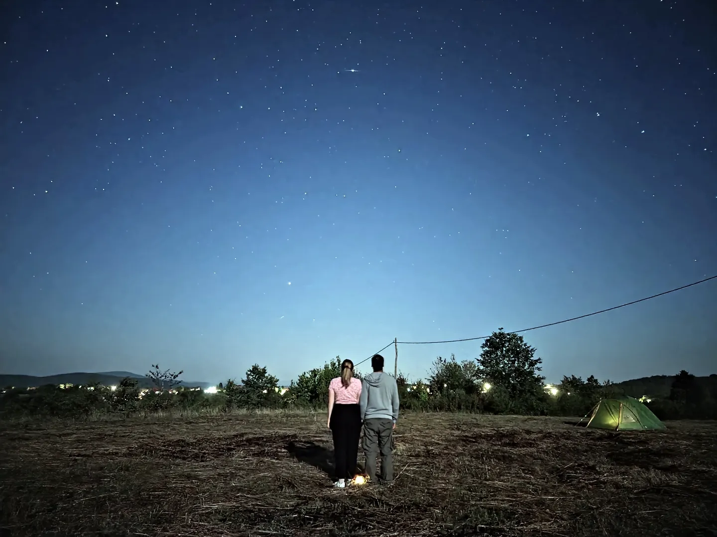
Bogato Brdo sits under one of Croatia's darkest skies. No city glow. No streetlight wash. Just the slow turn of the stars and the silhouette of the hills against deep navy. Bring a tent, or simply lie on the grass and let the night arrive.

Latitude 45° 8′ 22″ N
Longitude 15° 36′ 28″ E
Bortle Class 4 · dark rural sky
Best month August · new moon
Perseids 11/12 August
It is genuinely untouched. The Milky Way is visible because there is nothing else to see.
The Milky Way over Bogato Brdo
Milky Way · summer · 30s exposure 05
A tent pitched under the night sky
Tent · spend the night 06
Stargazing on the open meadow
Stargazing · meadow · no city glow 07

Night · Rest

The land exhales

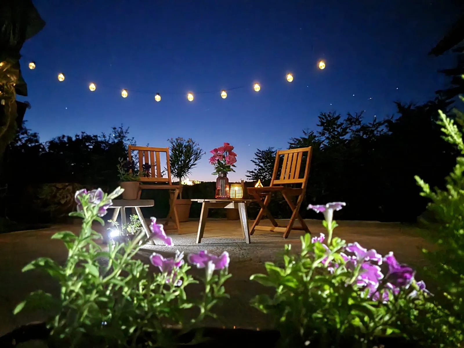
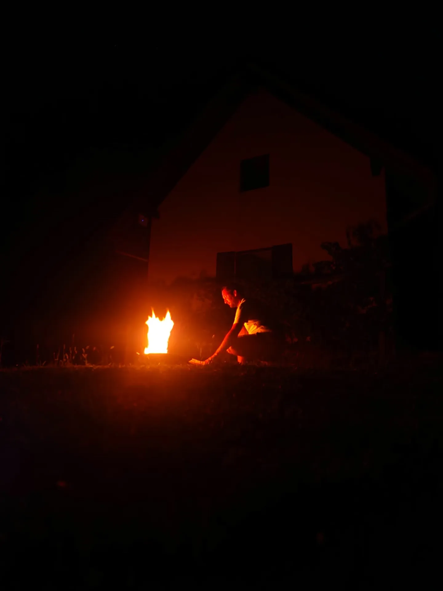
Golden hour fades into evening. A fire starts low and steady. String lights stretch across the terrace. Above Bogato Brdo, night opens fully. Stars gather in silence.

Golden Hour
First Fire
Stars Out
Midnight
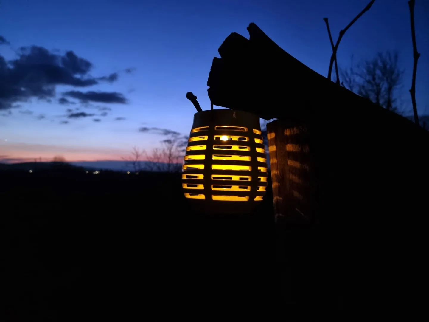
Lantern glowing on a wooden log
Lantern · log · last light 08
A bonfire crackling low
Bonfire · crackles low 09
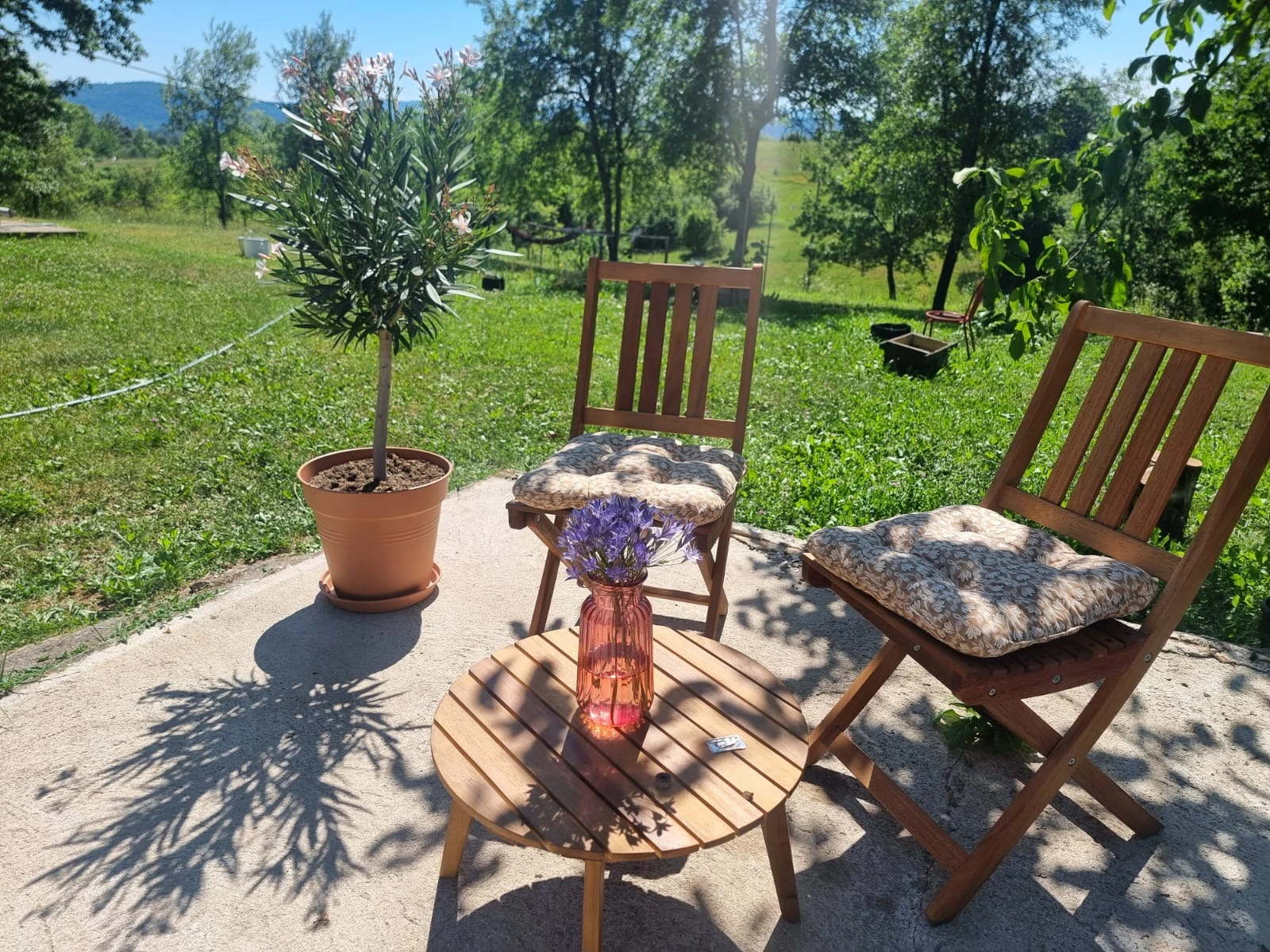
String lights and flowers on the terrace
Terrace · string lights · flowers 10

Find us on the hill. Leave the rest to the trail.